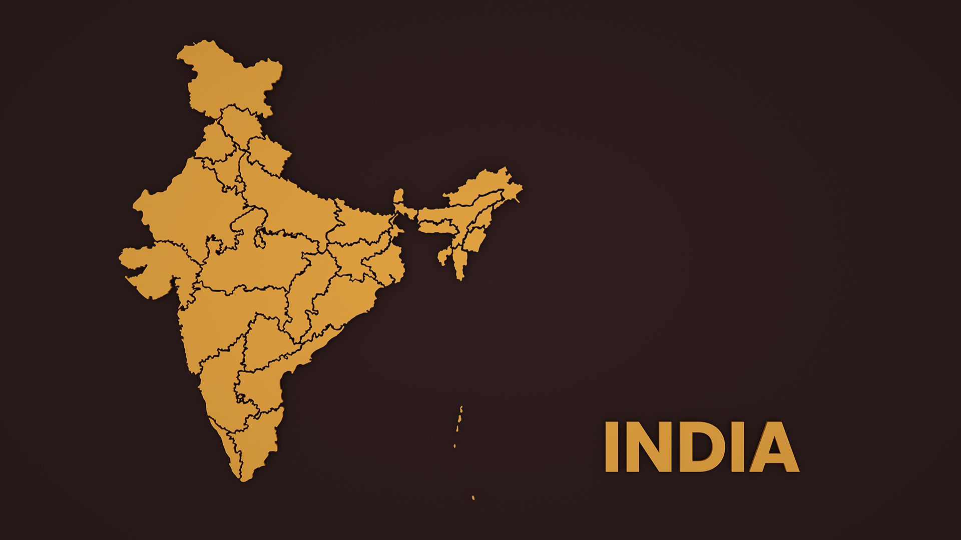
Considering the area, India is the 7th largest nation globally, ranking 2nd in population. In the northern hemisphere, India lies between 8°4′ N and 37°6′ N latitudes and between 68°7′ E and 97°25′ E longitudes. Indian sub-continent covering 2.4% of the earth’s surface with a total area of 32,87,263 square kilometres and 17.8% of the world’s population, is a peninsula with the Indian Ocean in the south, the Arabian Sea to the west and the Bay of Bengal to the East. The Indian Standard Time is based on 82.5° E longitude that passes through Allahabad in Uttar Pradesh.
Essential Geographical Facts
1. The distance between the northernmost point, i.e., the Indira Col, situated at an altitude of 5,764 metres in the Siachen Muztagh of Karakoram range, and the southernmost point, i.e., the Indira Point (earlier known as Pygmalion Point) situated at an altitude of 47 metres in the Great Nicobar island is about 3,649 kilometres. In the mainland of India, Kanyakumari (Cape Camorin) is considered the southernmost point, and the distance between Indira Col and Kanyakumari is about 3,214 Kilometres.
2. The distance between the westernmost point, i.e., the Guhar Moti in the Kutch district of Gujarat and the easternmost point, i.e., Kibithu in the Anjaw district of Arunachal Pradesh, is about 2,933 kilometres.
3. The length of the Indian coastline, including both the coastal states on the mainland and the islands, is about 7,516.6 kilometres. The length of the international land border is about 15,106.7 kilometres.
4. India is suspended from Asia by the snow mountain ranges in the north extending towards the south with distinct land and coastal features, so it is called a sub-continent; it lies entirely on the Indian Plate of the Northern Indo-Australian Plate.
High Seas & Territorial Limits
Indian territorial waters extend to a distance of 12 nautical miles from coastal land with a contiguous zone (admiralty jurisdiction for the control and prevention of offences) of up to 24 nautical miles and an exclusive economic zone (a special right for a sovereign state to carry out various economic activities) of 200 nautical miles as per United Nations Convention on the Law of the Sea.
International Borders
In the North, China, with a border length of 4057 kilometres; Bhutan, 578 kilometres; and Nepal, 1752 kilometres disconnecting Tibet from India. To the East, the dense forests and mountains of the Chin Hills and Kachin Hills detach India from Myanmar with a border length of 1643 kilometres; the Mizo Hills, the Khasi Hills, and the delta of Indo-Gangetic plain separate Bangladesh with a border length of 4096 Kilometres. To the West, Afghanistan shares a small border of around 106 kilometres, which falls in the disputed Pakistan-Occupied Kashmir (POK) region, and Pakistan with a border length of 3310 kilometres. In the South, the Gulf of Munnar and Palk Strait in the Indian Ocean separate Sri Lanka from India.