The explanation of India’s present geographical formation requires considering the theory of continental drift and geological tectonic movements; these theories deal with landmass distribution across the ocean, creating separate geographical divisions. Originally, there were no different continents, but one colossal landmass called the “supercontinent”, known as “Pangaea”, in the Permian period almost 250 million years ago.
Due to the tectonic movements, the drifting of continents began around 225 million years ago. By 200 million years ago in the Triassic period, Pangaea witnessed major drift giving rise to Laurasia and Gondwana. Laurasia comprised North America, Greenland, Europe and Asia, and Gondwana included South America, Africa, India and Antarctica. In the Jurassic period, i.e., 150 million years ago, Earth’s tectonic plates created the continental units of North America and South America; Europe, Asia, and Africa merged as one, India and Antarctica. The process continued to break in the Cretaceous period; Australia split from Antarctica around 65 million years ago, and Europe collided and merged with Asia separating Africa. About 40 million years ago, between Paleogene and Neogene periods, the separated Indian sub-continent gradually rammed with Asia and obtained its identity as peninsular India, uplifting the Himalayas and Tibetan plateau in four phases.
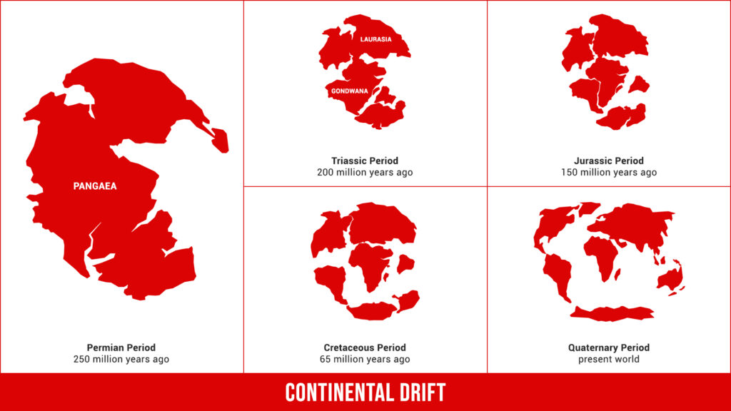
Graphical Illustration of Tectonic Movements of Earth Resulting in Continental Drift
The final uplift of the Himalayas happened in the Pleistocene period (the geological epoch spanning from circa 2.6 million years to 12000 BCE); the rapid rise of the Tibetan plateau also took place during this period. Enormous glacial deposits slid down to form the extremely fertile Indo-Gangetic plain in the post-Holocene epoch.
Shielding Himalayas
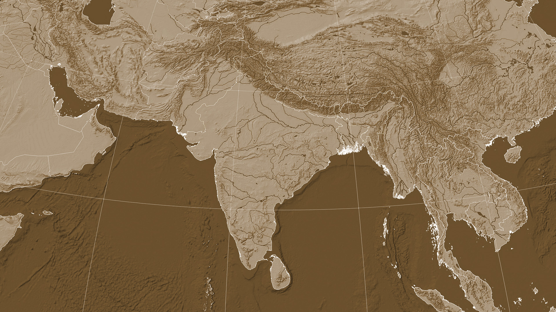
India is bounded by the Himalayas in the north, protecting the mainland from the cold arctic winds, and it acts as a shield against invasions because of its high altitude. However, the existence of Himalayan passes connecting central Asia to the northwest facilitated trade, cultural exchange, migrations and foreign invasions. The foothills of these high mountains supported earlier human settlements and farming.
Meritorious Climatic Conditions & Monsoon
The nature-defined geographical region of India lies in the tropical zone with moderate temperature throughout the year, obtaining monsoon driven by six wind currents:
- Northeast Monsoon Current
- Indian Counter Current
- Southwest Monsoon Current
- Indian Equatorial Current
- Mozambique Current
- West Wind Drift
The fertile lands in the Indo-Gangetic plains and monsoon favoured the ancient human settlements, civilization and agriculture. Learning the direction of the Indian monsoon in the post-Mauryan era, overseas traders and merchants took advantage of this knowledge in their maritime activities.
Significance of Rivers
The inception and spread of ancient civilization relied on the river basins in various ways. The fertile lands around the rivers encouraged cultivation, fishing, transportation, commerce, culture and communication. In the beginning, humans settled in the Indus river basin and gradually moved towards the Ganga river basin and Brahmaputra basin; similarly, life flourished in the Deccan and coastal regions of peninsular India, attracting settlements, foreign trade and commerce. These river basins were prone to periodical megafloods that destroyed life and settlements; irrespective of such heavy floods, many ancient towns and capitals were situated on the banks of these rivers. The land of India was rich in minerals and other natural resources, and civilizations, over time, learnt to exploit these resources.
From the pre-historic period, the rivers, mountains, valleys and plains acted as territorial boundaries, supported human settlements, on-looked battles and bloodshed, and witnessed the development of life, culture and languages.

